See your site from a new perspective.
From 2D drawing to interactive 3D mapping for a better visual and understanding of your project.
We'll bring your construction data to life with the amazing power of imagery.
Roofs and solar applications, and dams
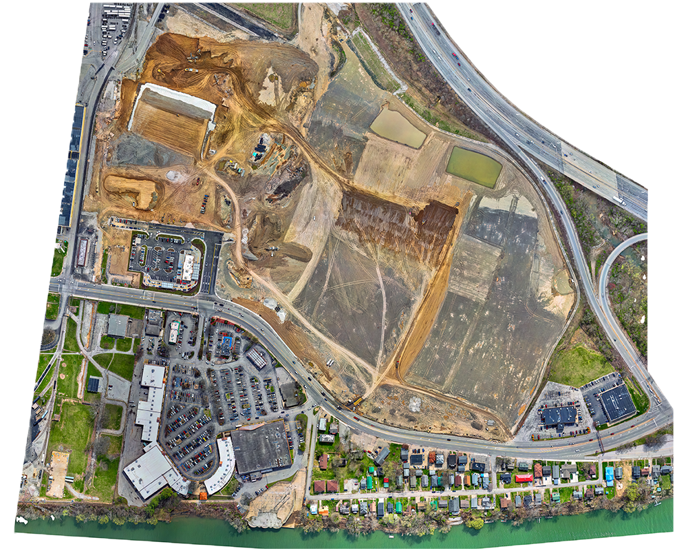
Construction sites, mines, quarries, and more
Aerial inspections, mapping, and much more
Control towers, windmills, oil rigs
Dig deeper into CSS and improve your ability to layout and style websites.
Data collection, processing, and alalysis.
From 2D drawing to interactive 3D mapping for a better visual and understanding of your project.